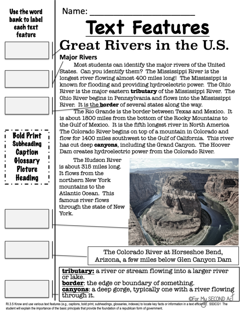
Are your students studying the major rivers and mountains of the United States? Teaching my students that a river is a large stream of water that flows through a piece of land into a lake, ocean, or another body of water was not always easy to do. In third grade, there are many rivers we have to teach. We focus on the main river that flows throughout the United States. Five of these are considered major rivers: Colorado, Rio Grande, Mississippi, Ohio, and Hudson.
Major Mountains And Rivers Worksheets
I always like to cover the geographical location as well as a few fun facts, like the Colorado River is home to one of the seven natural wonders of the world, the Grand Canyon. They always get excited when I show them pictures. For so many of them in my Title I school, they will never see these national wonders except through pictures.

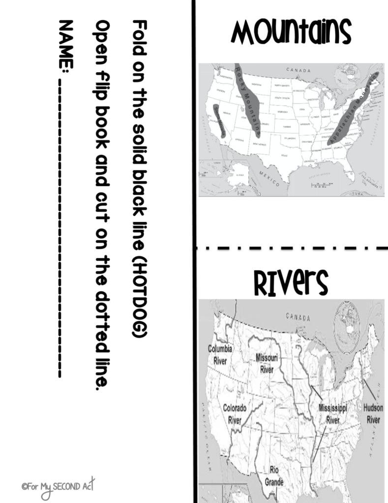
Map of Mountains and Rivers in the US
I also cover the two major mountain ranges in the United States. These are the Rocky Mountains and the Appalachian Mountains. I included facts like The Rocky Mountains stretch over 3,000 miles and they start in Canada and end in New Mexico. Some of my kiddos have traveled to the Appalachian Mountains and I always let them share a story or two! I explain that this mountain chain stretches from Canada to Georgia. They are always amused that these mountains are over 500 million years old but not as high as the Rocky Mountains because of erosion and weathering (vocab words from Science??).
3rd Grade Mountains and Rivers
In third grade, I incorporated as many hands-on projects as possible. In my Mountains and Rivers in US unit, we would make several foldables to discuss each river and mountain chain, as well as matching cards to help with vocabulary! I have over 30 pages in this unit to help effectively teach the standards! Everything is easy to implement and super fun for your students.


No Comments